SV Surveying
SV Surveying LTD was established in October 1988 in Sheffield by Peter Vincent and Terry Smith, initially operating under the name SV Land Surveying Ltd.
About
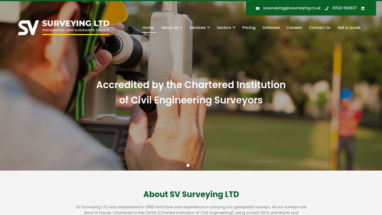
SV Surveying LTD was established in October 1988 in Sheffield by Peter Vincent and Terry Smith, initially operating under the name SV Land Surveying Ltd. The company's foundational objective was to deliver comprehensive land survey and computer modelling services to a broad spectrum of clients. In 1992, the firm relocated its operations to the Midlands and is presently owned and managed by Elliott Allman MCinstCES. SV Surveying LTD has accumulated over 35 years of experience in conducting geospatial surveys.
The company operates from a central office located in Ashby de la Zouch, Leicestershire, extending its services across the entirety of the United Kingdom and internationally. SV Surveying LTD maintains nine dedicated survey teams, which collectively possess more than 100 years of experience in the application of modern survey equipment. This equipment includes the latest Leica total stations and Leica scanning utilities, complemented by extensive practical experience in 3D terrain modelling software. This integrated approach is designed to ensure that clients receive comprehensive and cost-effective surveying services.
SV Surveying LTD provides a wide array of surveying services, all of which are conducted in-house. The firm's main services encompass Measured Building Surveys, Topographic and Land Surveys, and 3D Laser Scanning. Additional offerings include Measured Elevation Surveys, GPS Surveying, Hidden Utility Surveys, and Flood Risk Assessment Surveys. The company also possesses expertise in Setting Out for civil engineering projects, Retail Surveys, Volumetrics/Cut & Fill, Primary and Secondary/GPS Control, Drafting & Data Processing Services, Consultancy Services, and Survey Control.
The company is chartered to the Chartered Institution of Civil Engineering Surveyors (CICES) and adheres to current RICS standards and techniques in its operations. SV Surveying LTD also holds accreditation from the Chartered Institute of Building. For measured building surveys, the firm utilizes modern Leica Laser Distance Measuring equipment, which is linked to laptops running MBS software to accurately record data on site. Topographic surveys are carried out using Leica electronic total stations to capture 3D observation data, which is subsequently processed in LSS surveying software to produce Digital Terrain Models.
All survey outputs are drafted electronically using CAD software, including MBS, LSS, AutoCAD 2023, and Leica Cyclone, and can be provided as digital data, traditional paper plans, or 3D pointclouds. SV Surveying LTD serves a diverse client base, including architects, landscape designers, and planners, providing them with current and accurate data and technology to support their projects. The company's experience spans a variety of project types, ranging from small domestic properties and churches to large industrial complexes, institutional buildings, and schools. The firm also undertakes work for commercial and local government properties.
Surveyors within the company possess at least 16 years of experience in the surveying of building floor plans, demonstrating their capability across varied project scales and complexities. The firm's expertise in measured floor plan surveys can be combined with its GPS and land survey capabilities to offer clients a comprehensive and integrated service solution.
Categories
Team
Team information coming soon
We're working on enriching this page with team member information from LinkedIn.
Frequently Asked Questions
Contact
Location
Address
76b Market Street
Ashby-de-la-Zouch, East Midlands
LE65 1AP
Opening hours
Loading map...
Social Media